Operational now. Expanding continuously.
We deliver decision-grade thermal intelligence
Optical satellites see structures. Radar satellites see through clouds. Our satellites see heat patterns = human activity, infrastructure load, and environmental stress.
What thermal unlocks
We build and operate custom satellites to deliver an end-to-end thermal intelligence system.

- Step 1
Satellites measure surface temperature across designated sites globally.
- Step 2
The constellation can see building-level activity at day and night.
- Step 3
Thermal signatures reveal behaviour and activity invisible to optical and radar.
- Step 4
Thermal intelligence uncovers the hidden dynamics of our world for critical decision making.


Mission partners

Solutions
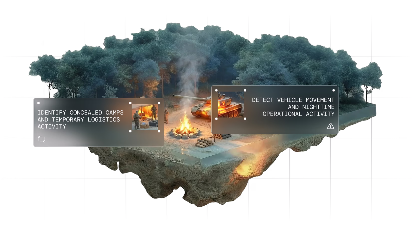
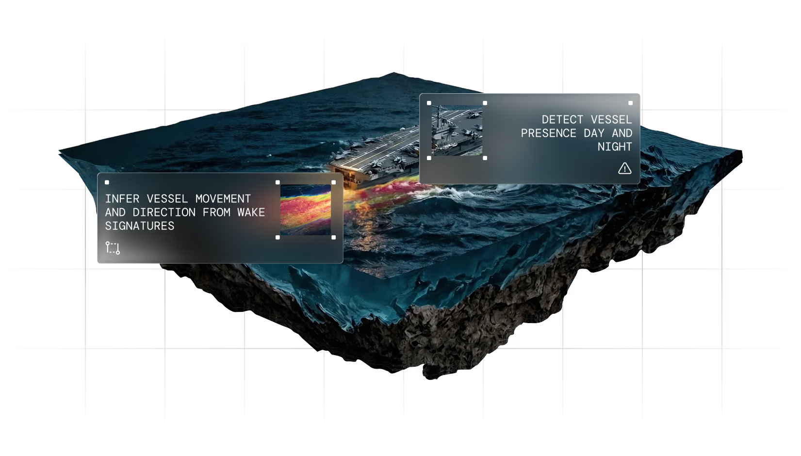
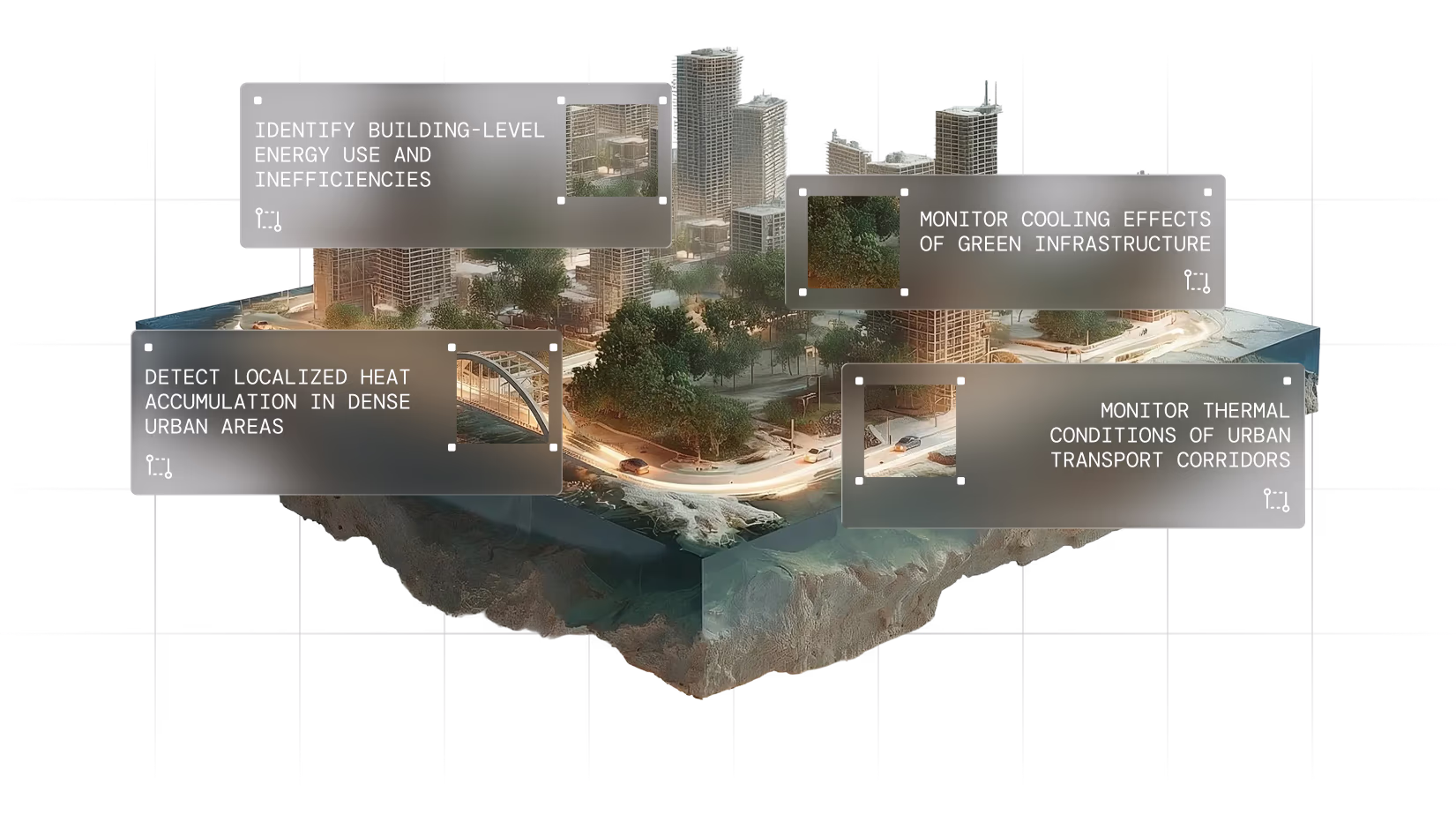
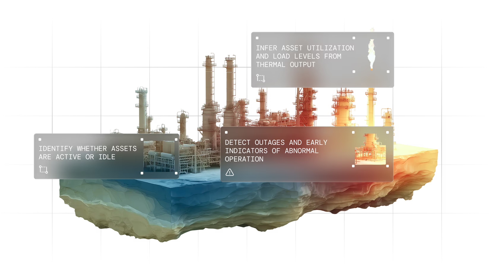
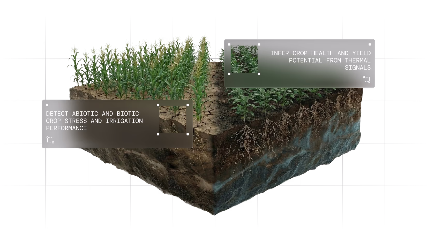
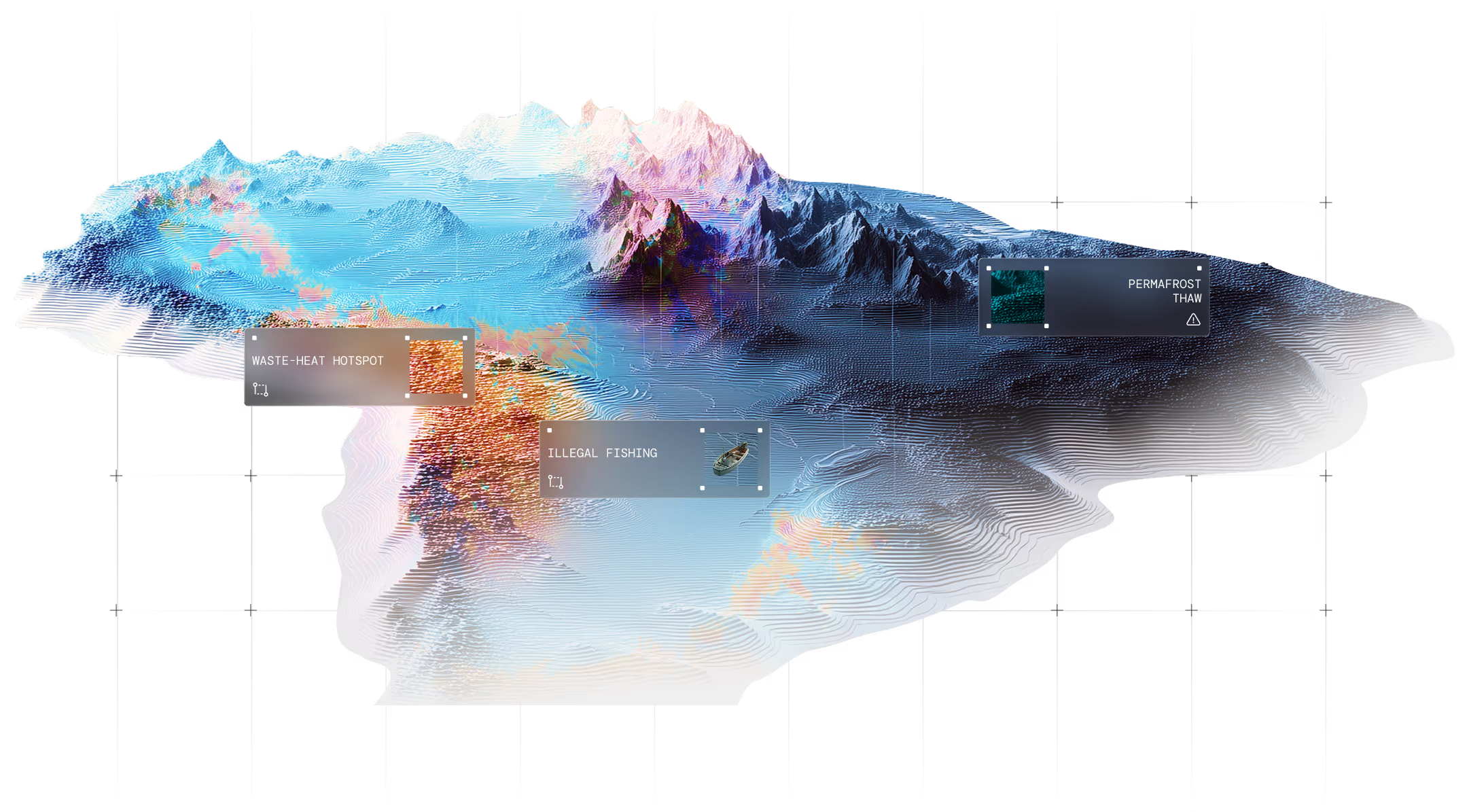
One thermal layer. Multiple applications.
01
02
03
04
05
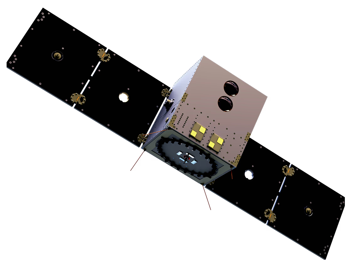
Meet SkyBee
Operational now. Improving continously.


Fully sovereign satellites in orbit
Guaranteed access. Zero foreign dependencies.
Absolute temperature capability
Only provider with ±1-2K calibrated thermal measurements.
End-to-end mission architecture
Integrated satellite, ground segment, and analytics system enabling strategic-resolution insight at scale.
Patent-protected technology
Sensor fusion enabling tactical resolution at scale.
Contact us
Enhance your mission readiness
Thermal satellite intelligence for defense operations and strategic planning. Request a briefing to discuss mission requirements and deployment options.
Blog
Read the latest news & updates

Airbus Defence and Space sovereign space intelligence consortium with Rohde & Schwarz, constellr, Orbint and HPS
15.06.2026
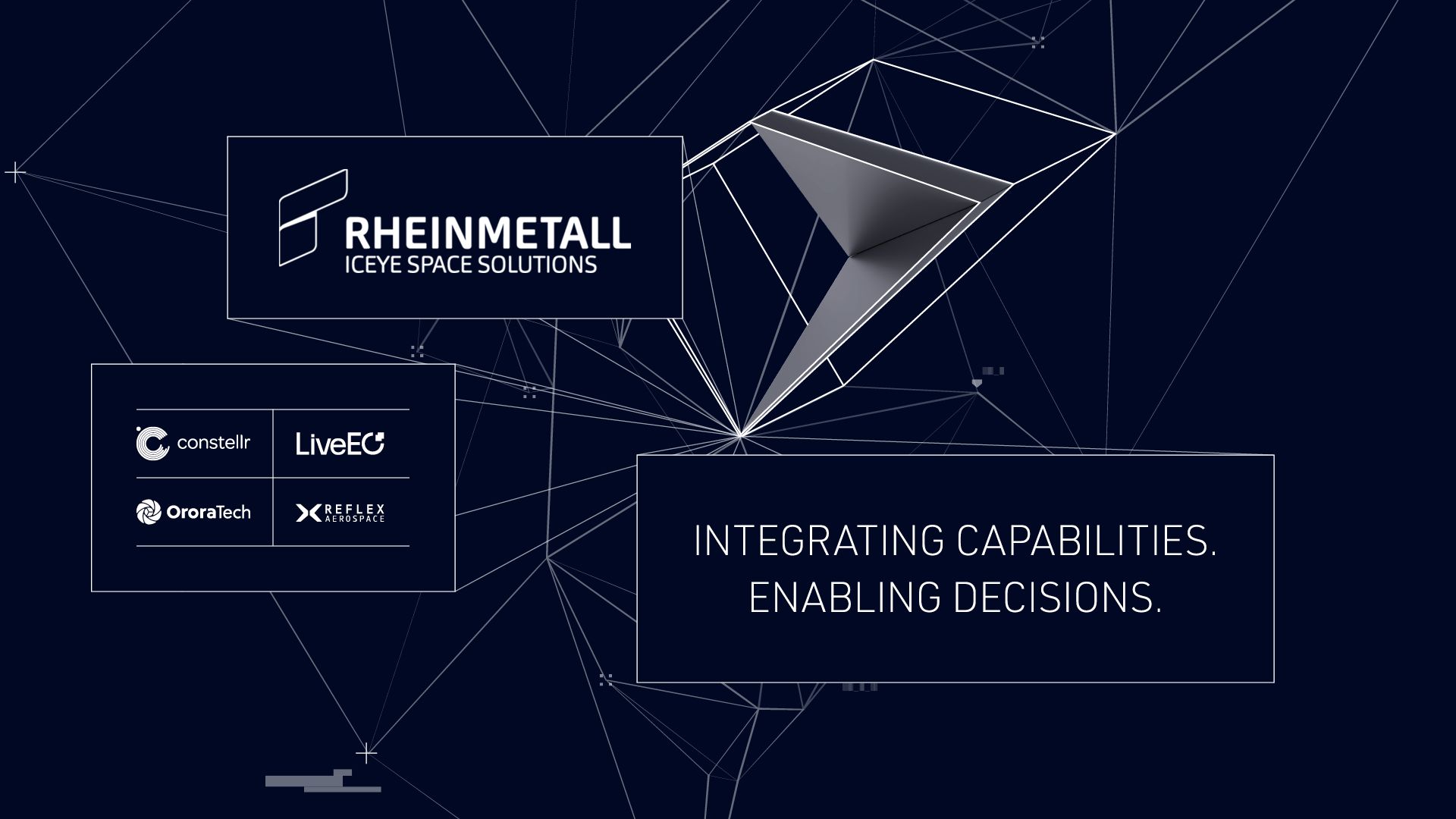
Rheinmetall ICEYE Space Solutions Unites Germany’s NewSpace Capabilities for Sovereign Reconnaissance from Space
15.06.2026

Expanding access to thermal intelligence with UP42
27.02.2026