Trusted Thermal Measurement. Proven in Orbit
ESA and the European Commission validated (Copernicus contributing mission partner). Our data meets the standards required for government and defence use.

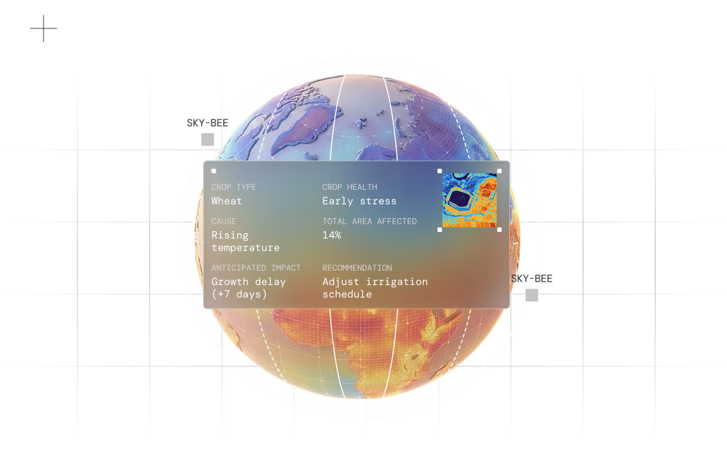
How thermal helps you get the full multi-sensor picture
Optical vs radar vs thermal
 Sensor type:
Optical
What it shows:Structures, shapes, visible features
 Sensor type:
Radar
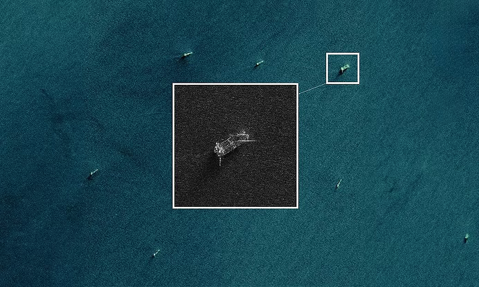
What it shows:Position, movement, surface properties
 Sensor type:
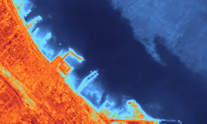
Thermal (constellr)
What it shows:Activity, stress, anomalies, change over time
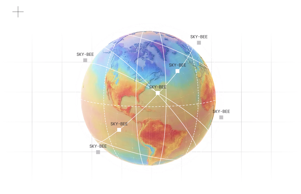
Our roadmap
Now
- 2 satellites delivering operational data
- 30 m resolution thermal imaging (sharpened to 10 m)
- 1.0-1.5 K radiometric accuracy
- Day and night capability
- 1.5-day average revisit
- Serving government and defence customers
Near-term
- Expanded satellite constellation
- Sub-daily revisit for priority regions
- Enhanced accuracy below 1.0 K
- Reduced delivery latencyInfrastructure monitoring analytics
- Activity pattern detection
- Cloud-agnostic deployment
- Sovereign hosting for government agencies
- Multi-domain intelligence integration
Future
- Continued constellation expansion
- Next-generation sensor technology
- Higher native resolution capabilities
- Tighter radiometric precision
- Enhanced revisit cycles
- Advanced sensor fusion
Your end-to-end thermal intelligence solution
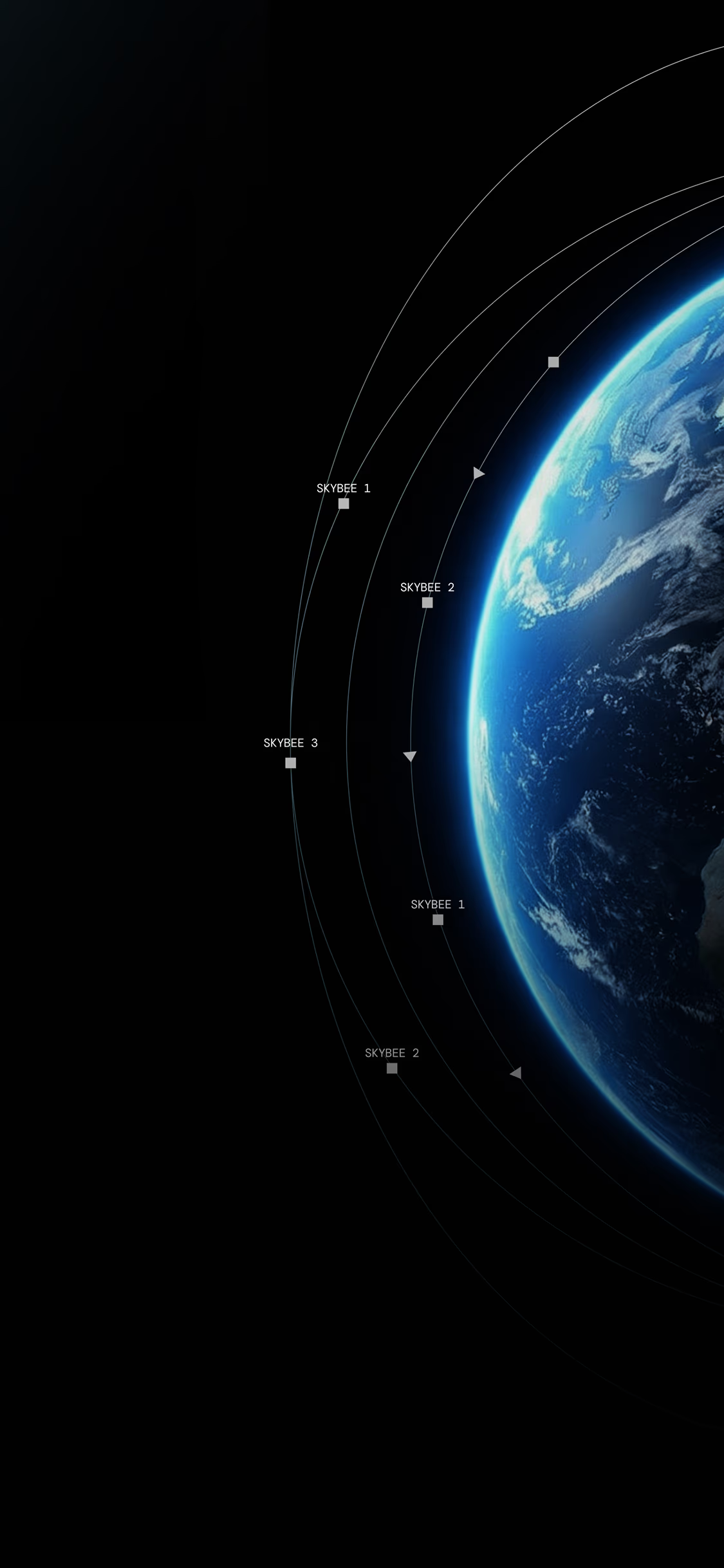
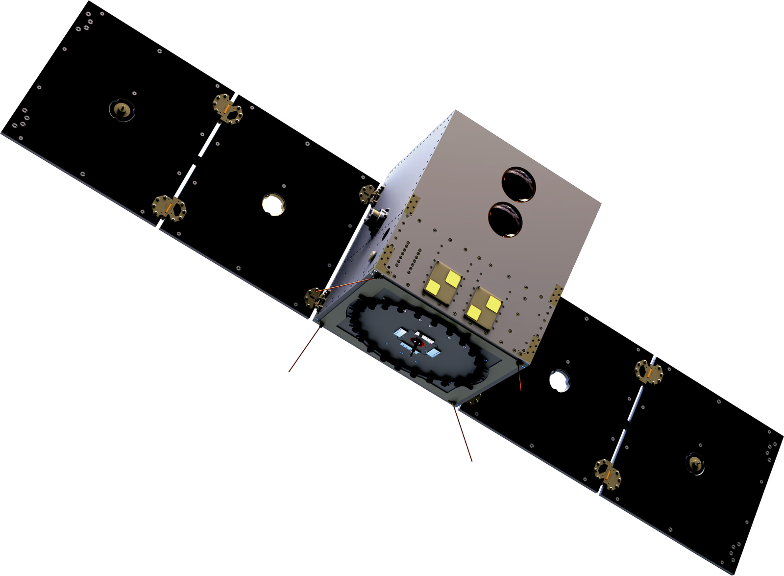
How our Constellation Works
Satelite
Mission-specific thermal satellite architecture
Ground segment
Secure tasking, downlink, and processing

Mission Operation Center

Processing pipeline

Data platform
Analytics
AI models that turn temperature into behaviour, stress, and change

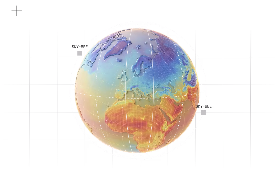
Meet SkyBee
Satellite specifications

Thermal accuracy:
1.0-1.5 K absolute surface temperature
Measure temperature changes reliably across seasons and conditions.
Temperature sensitivity (NETD):
0.05-0.15 K
Detect subtle activity variations before they become visible.
Detector sensitivity:
<0.1 K for subtle thermal variations
Identify operational changes in early stages.
Ground resolution:
30 m native (27.3 m GSD at 510 km altitude)
Distinguish individual buildings, assets, and infrastructure segments.

technical information
Access complete technical information about our satellites